
PRODUCTS
Learn More
Learn More

Learn More
Operator-worn or vehicle-mounted networking solutions
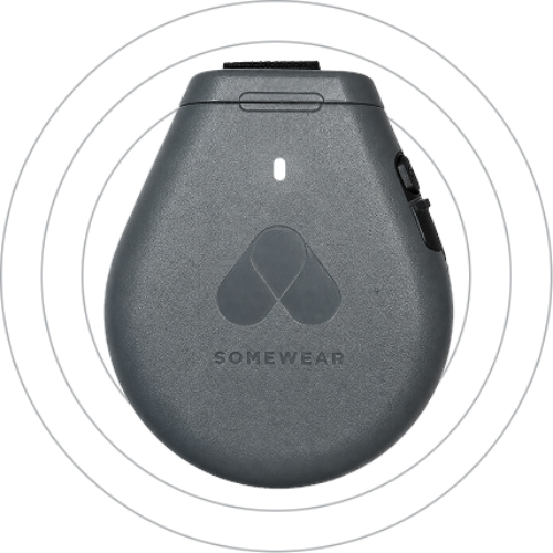
Node
MESH & SATELLITEMulti-network solution, combining the efficiency of mesh radios and resilience of satellite communication for dismounted operations.
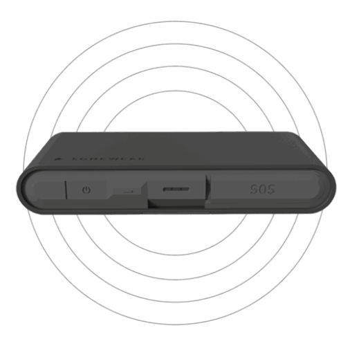
Global Hotspot
SATELLITENarrowband satellite solution that integrates into any kit. Ideal for asset tracking and for isolated personnel who require SATCOM to stay connected.
Grid for C2
Web, iOS, Android, ATAKEstablish situational awareness that encompasses all assets and empower your team, from operator to command, to maintain complete control of missions.